🛰️
Remote sensing
Time-series processing, vegetation indices, SAR, thermal data and change detection.
AgriOrbital Lab builds open geospatial applications, Python packages, QGIS plugins, interactive maps and GeoAI workflows for agriculture, hydrology, forestry and wetlands.
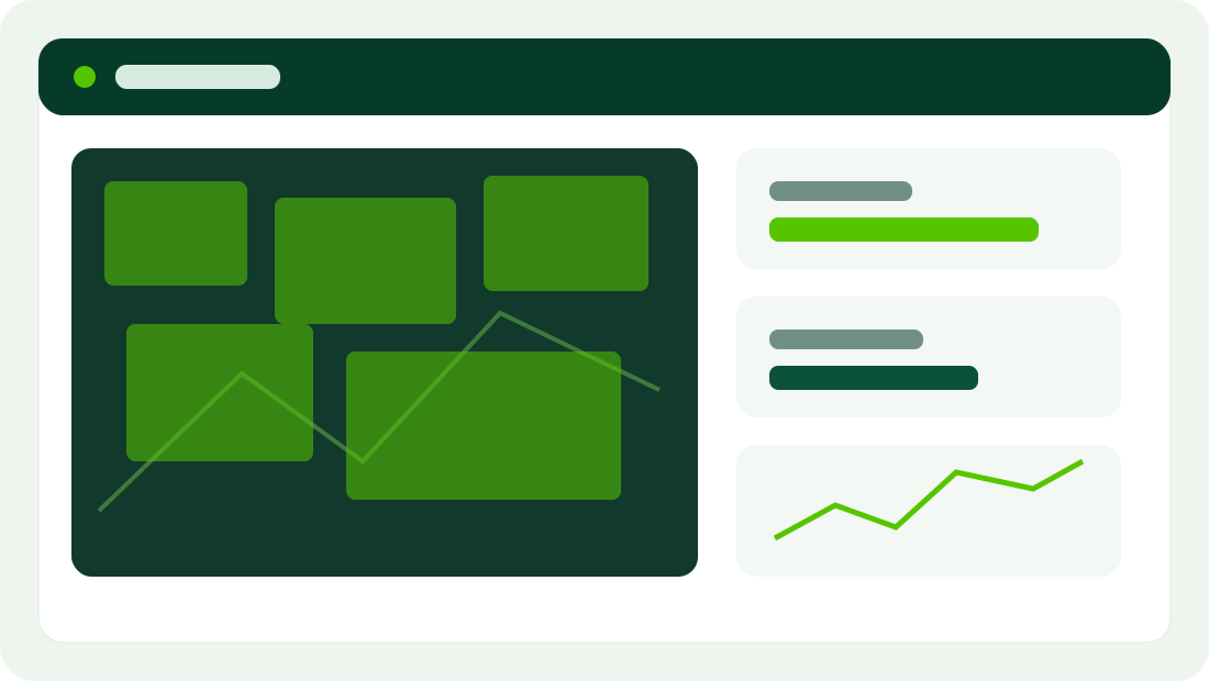
A place for deployable applications, reproducible code, technical documentation and research prototypes.
Time-series processing, vegetation indices, SAR, thermal data and change detection.
Web maps, dashboards and map-first decision-support applications.
Reusable geospatial functions for analysis, automation and reproducible science.
Machine learning and computer vision for spatial classification and prediction.
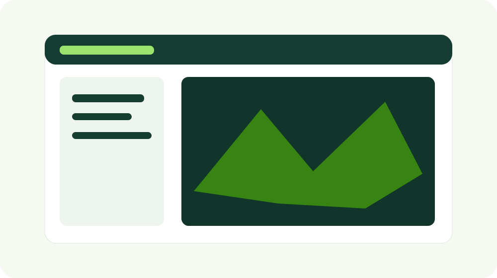
The template includes a working Leaflet map page with sample field polygons, popups, layer controls and room for satellite tiles, GeoJSON, Cloud Optimized GeoTIFFs or API-driven data.
Build sections for crop classification, habitat mapping, anomaly detection, segmentation, regression and model-transfer experiments.
Explore GeoAISatellite imagery, terrain, weather, field sensors and open geospatial datasets.
Python, cloud geoprocessing, temporal compositing, feature engineering and QA.
Geospatial analytics, statistical models and GeoAI workflows.
Interactive maps, packages, plugins, APIs, technical notes and web applications.
A placeholder note structure for methods, caveats, code and visual outputs.
A technical-note layout for experiments involving OpenET, satellite predictors and field validation.
Use the project, documentation and demo layouts as reusable templates as the platform grows.