Overview
A field-scale geospatial application concept for combining remote sensing, soil moisture, vegetation phenology, terrain and evapotranspiration information.
Problem
Environmental data often live in separate products and tools. A field-oriented interface can bring those layers together around real management units.
Architecture
Satellite / weather / terrain
          ↓
Python + cloud geoprocessing
          ↓
Analysis-ready raster / vector layers
          ↓
Tile service / GeoJSON / API
          ↓
Interactive web application
Possible modules
Vegetation & crop phenology
Soil moisture
Evapotranspiration
Terrain & drainage
Next steps
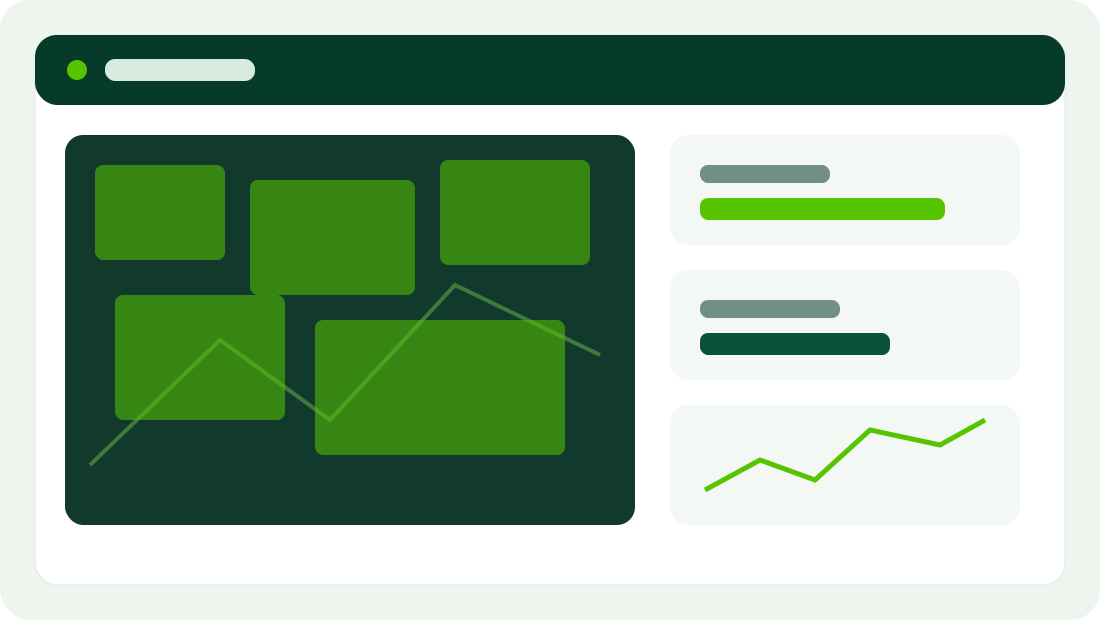
Replace the sample dashboard and data with real project outputs, then connect each module to its own documentation and GitHub repository.